
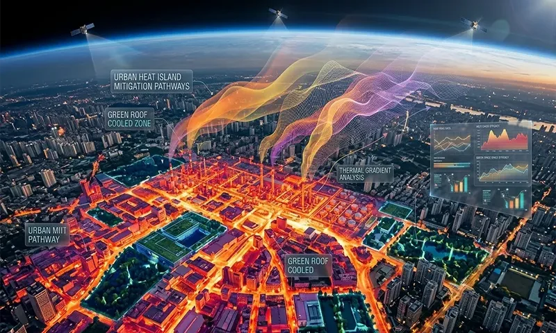
Satellite Thermal Infrared Imaging for Urban Heat Island Mitigation
As global temperatures continue to break records in 2026, the Urban Heat Island (UHI) effect has transitioned from a seasonal nuisance to a public health emergency. Municipalities are increasingly turning to Satellite Thermal Infrared (TIR) imaging to move beyond static heat maps toward dynamic, high-resolution mitigation strategies. by leveraging a new generation of thermal sensors and machine-learning downscaling techniques, urban planners can now pinpoint neighborhood-level “hot spots” and implement targeted cooling interventions that save lives and reduce energy demand.
The Nocturnal Danger of Cities
The Urban Heat Island (UHI) effect occurs when cities replace natural land cover with dense concentrations of pavement, buildings, and other surfaces that absorb and retain heat. This is measured via Land Surface Temperature (LST)—the “skin” temperature of the earth’s surface.
While daytime heat is often the focus of media attention, 2026 research has identified nocturnal LST as the primary driver of heat-related mortality. In … Read the rest